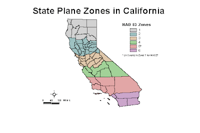
This is the SPC map for California. Every state has a different SPC map, in which the state is divided into zones, and zone boundaries are often along county lines. Every state also uses a different projection to minimize distortion. SPC maps are good for use locally, since there is less distortion than the UTM map.

No comments:
Post a Comment